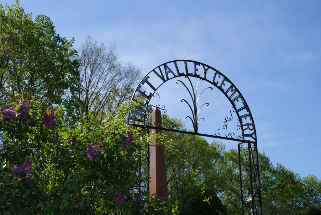
Inlet Valley Overlay District
Introduction: The Inlet Valley Overlay District
In 2018 the Town of Ithaca commissioned an economic development feasibility study and strategic plan (the Inlet Valley Ithaca Plan) for the Inlet Valley area to explore ideas for shaping the corridor’s development future and for fostering its distinctive semi-rural/agricultural character that includes two renowned NYS Parks prominently situated within the corridor. A key recommendation of the Plan was to revise the zoning regulations to encourage desired types of uses and a character of development that would make the corridor an appealing and distinctive destination.
The Inlet Valley Zoning Overlay District was drafted with these goals in mind. The overlay applies special land use and design standards to the lands along Elmira Road (NY 13) between Robert Treman State Park and Five Mile Drive (see overlay map). It is composed of two overlay sub-zones:
- The “Inlet Valley Center” subzone (IV-C), located between Five Mile Drive and Seven Mile Drive (slightly south of), is intended to foster a mix of uses to facilitate the enhancement of the Inlet Valley as a destination for outdoor recreation, tourism, artisanal and agricultural-culinary related land uses.
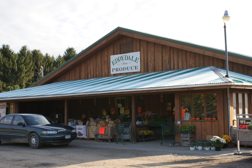
- The “Inlet Valley Transition” subzone (IV-T), located immediately south of the IV-C and extending south of the Eddydale Farm Market (just beyond the former Turback’s Restaurant property), is intended to serve as a transition and offering more limited commercial opportunities between the more focused IV-C subzone and the low density residential and agricultural zoning districts at the southern end.
What is an Overlay Zone
An overlay zone is a special zoning layer that sits over one or more established zoning districts. An overlay zone doesn’t change the underlying zoning. Instead, it modifies or adds to the regulations that would normally apply. Rules in an overlay zone are meant to meet specific community or environmental goals, protect special features or traits in an area, or ensure new development has a certain character that reinforces an area’s sense of place.
The Inlet Valley Overlay District acts as a layer that sits on top of the existing AG (agricultural), LDR (low density residential), NC (neighborhood commercial), and LI (light industrial) zoning along this stretch of Elmira Road (NY 13). The regulations define and list uses (and conditions for some of them) that are allowed in different underlying zones. The regulations include new uses that wouldn’t otherwise be allowed, as well as modifications to some existing uses.
Design standards
In the Inlet Valley Overlay District special standards for site and building design, landscaping, screening, parking, and signage apply. The overlay standards are more specific than what the Town Code now requires, but they’ll offer more certainty to those developing or upgrading their properties and help ensure that new development complements the semi-rural setting and reinforces the valley’s sense of place.
To view the Inlet Valley Overlay District law click here:
To view the Inlet Valley Overlay District map click here:
To view a helpful guide for understanding the Use Table in the law click here:
The Ithaca Town Board adopted the new Inlet Valley Overlay District at their meeting on February 13, 2023. For questions and comments please send an email to planning@town.ithaca.ny.us, or call us at 607-273-1747.
